I finally had the opportunity to hike the High Sierra Trail, a trail I've been dying to do for years! Those 6 days in some of the most remote parts of Sequoia and Kings Canyon National Park blew me away with everything the Sierra has to offer - snow capped mountain ranges, sheer exposed drop offs and peaks, crystal clear alpine lakes, and lush grassy meadows.
This was the longest trip I've ever done, and planning for a week in backcountry was certainly challenging. I've wrote up several blog posts with photos, maps, and helpful tips that you might find useful when planning a trip of your very own!
I had always wanted to do a longer backpacking trip, and although the first that comes to mind is the famous 211 mile John Muir Trail, with most of us working normal full time jobs, it can be difficult to get a whole 3 weeks off.
Then I heard about the High Sierra Trail, a 72 mile trans-Sierra hike that also exits at Mt. Whitney just like the JMT. Being <100 miles, it would only take us a week to finish. Plus, it passes right by a lake that had been on my dream list for a long time - Precipice Lake.
Itinerary
The High Sierra Trail starts on the western edge of the Sierra in Sequoia National Park, climbs up and over the western mountain range, and then crosses the valley before climbing up and over the eastern mountain range with a short detour up to the summit of Mt. Whitney.
Backpackers will complete this iconic trip in a variable number of days ranging from 5 (ultralight) to 8 or more. We had originally planned for a conservative 8 day itinerary to allow ourselves to take our time and enjoy the beauty of the scenery, but once we were on the trail, we pushed the extra miles on the final 4 days to be able to hike out in just 6 days.
If I were to do it again, I'd probably prefer an 8 day, more relaxed itinerary to allow for more time to relax at each spot or for optional side trips.
In addition to online research and reading tons of trip reports, the Tom Harrison map of the entire trail that we brought was extremely useful. The map allowed us to look ahead to scout possible campsites and see how much more climbing and miles we had in that day. Having this insight allowed us to make spontaneous decision depending on the conditions and how we were feeling to be more flexible with our itinerary.
Itinerary break down day by day:
Some Fun Awards!
Favorite Day
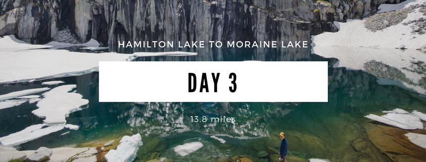
Day 3: Hamilton Lake to Moraine Lake - because of the views hands down. This included Precipice Lake and crossing over the Great Western Divide.
Hardest Day
Day 4: Moraine Lake to Junction Meadow - not only our longest day in terms of miles, but the steep descent down into Kern Valley at the beginning of the day really took it out on my legs for the rest of the day, and then the scenery during the stretch in the valley was slightly monotonous (I greatly prefer the dramatic and exposed views!).
Favorite Lake
Precipice Lake - the one lake I was most excited to see! So picturesque and absolutely photogenic. I was hoping for some ice chunks to still be floating in the lake, but they all must have melted by this late in the season.
Favorite Campsite
Hamilton Lake - even though it was the spot where we saw the most people the entire trip, I can see why this lake nestled by a granite dome is a favorite. There were lots of well developed camp sites with alpine views, and being close to the water helped me feel truly at home.
Permits
Permits for the HST are easier to obtain compared to the famous John Muir Trail out of Yosemite Valley, but the High Sierra Trail can still be difficult to snag on peak summer weekend starts. We weren't able to get any permits until the very end of the season, September 17-24th. We knew we would be dealing with colder and more variable weather, but we took what we got.
Since the High Sierra Trail start is out of Crescent Meadow in Sequoia National Park, you’ll want to reserve your permit online via Recreation.gov exactly 24 weeks before your trip.
Click to read about all of the important California backpacking permit deadlines
No available permits?
If you are having difficulty finding available permits, you can sign up to track specific dates and be notified of any cancellations via Outdoor Status.
If the Crescent Meadow trailhead is already filled, you can also consider starting at the Alta Peak trailhead, or there is always the option to try for a walk up permit.
Transportation
One of the hardest parts of planning the trip is figuring out transportation. Since the High Sierra Trail is a one way hike across an entire mountain range, you’ll either need to arrange pickup or set up your own double car shuttle. I cover all of the different options and their advantages and disadvantages in a blog post about transportation here.
We opted for setting up our own shuttle and reserved an entire day before starting our hike to drive to Mount Whitney first to drop off one of the cars. If you can get two cars, I'd recommend this method the most, as the flexibility of having our own car at the trailhead allowed us to hike out two whole days earlier and shorten our trip on the fly.
Campsites
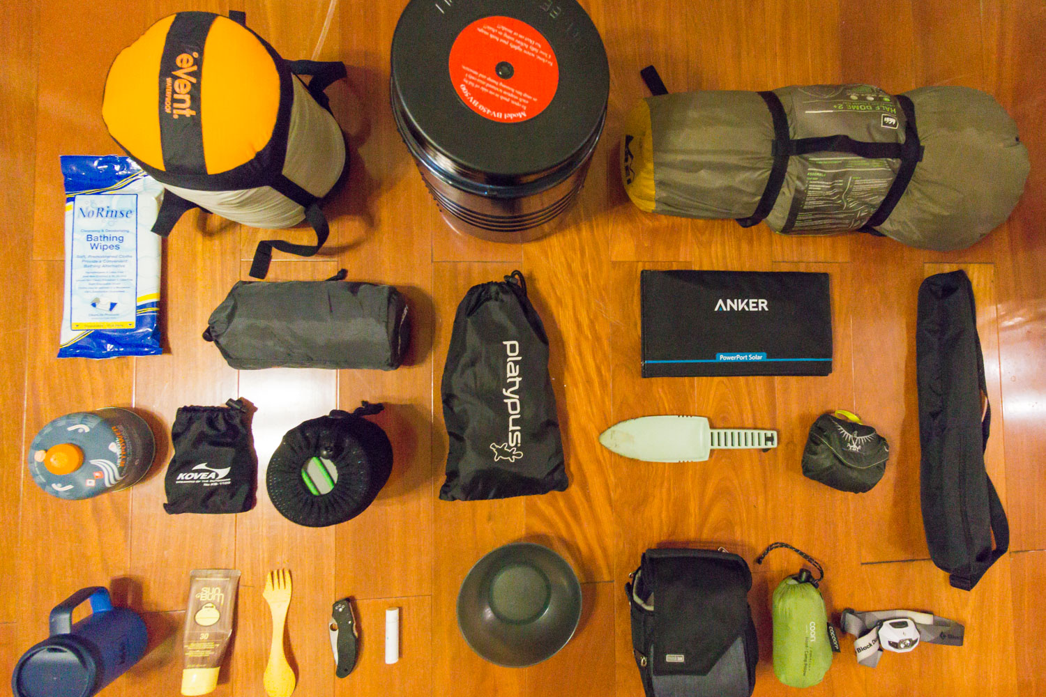
A nice thing about the High Sierra Trail is the abundance of campsites and bear vaults along the entire trail. We planned our trip around the sites that we knew had bear vaults, and I've heard some people are even able to forgo the bear canister completely and hike the entire trail by camping by a bear box each night! We wanted the flexibility of possibly camping at a spot without a bear box, so we we decided to pack our Bear Vault BV500.
Fires
Some sites at the lower elevations even allow fires, which is always a rare and welcome treat when backpacking in the Sierra. There were several great campsites with well developed fire pits complete with tree benches, but areas like Hamilton Lake (8,234 ft) still have area-specific fire restrictions due to the high traffic these spots receive.
West of the Great Western Divide campfires are not allowed above 9,000 ft, and east of it campfires aren't allowed above 10,000 ft. In general, try to use the already existing and obvious fire rings at your site to reduce your impact on the land.
What to Pack
Packing for the longest backpacking trip I've done to date was challenging, and slightly stressful. It was hard wrapping my head around the fact that everything I would need for an entire week should fit in a single backpack on my back, but once I gathered everything together, it was easy to eliminate and add items based on the room I had.
Food
Click here to read about all of my favorite meals and foods to bring while backpacking!
Making sure we had enough food and calories for a strenuous 8 day trip took a lot of planning as well. Normally I lean towards the gourmet foodie kind of person when it comes to eating on the trail, so this time I actually calculated the calories per gram of each food and focused on calorie dense meals. At the top of that list were:
1. Peanut butter
2. Trail mix
3. Powdered milk (Nestle Nido)
4. Peanut m&ms
5. Sandwich crackers (Keebler variety pack)
We packed everything into ziplocks and portioned everything into snack packs divided by day for each person for better organization.
Conclusion
Looking back on hiking the High Sierra Trail, the entire trip really felt like quite the journey for me. I can easily say it was the hardest thing I've ever done physically, and the mental aspect was just as challenging as well. I love that you can access some of the most remote areas of the Sierra just a couple days in and that none of the scenery is repeated due to the one-way nature of the hike.
Have you hiked the High Sierra? Let me know how it went for you!
What to read next
General planning:
My complete High Sierra Trail pack list
How to plan transportation for the HST
My favorite meals while backpacking
Itinerary:
Day 1: Crescent Meadow to 9 Mile Creek
Day 2: 9 Mile Creek to Hamilton Lake
Day 3: Hamilton Lake to Moraine Lake
Day 4: Moraine Lake to Junction Meadow
Day 5: Junction Meadow to Guitar Lake
Day 6: Guitar Lake out to Whitney Portal


