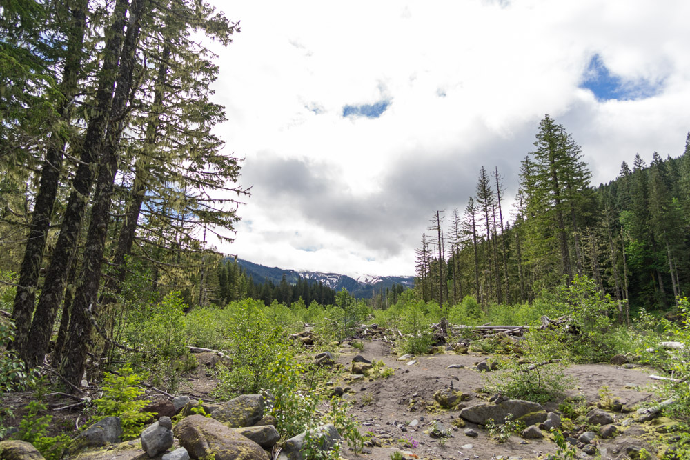
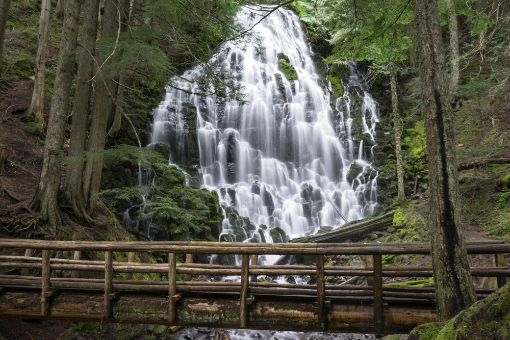
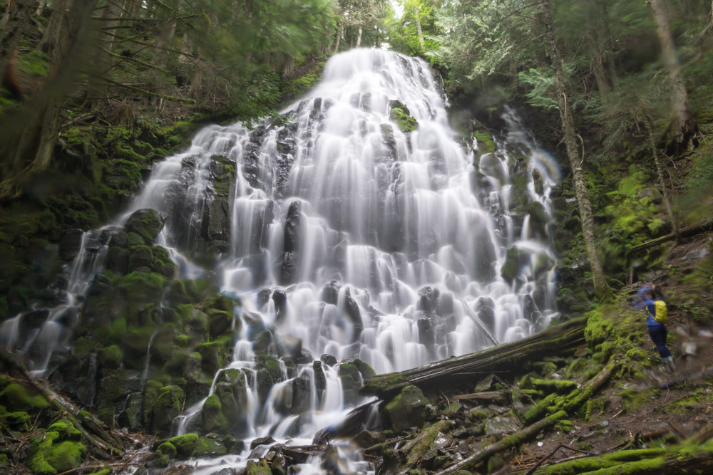
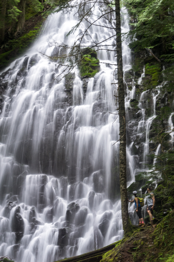
One of the most impressive falls I've ever seen, Ramona Falls resides in the Mount Hood Wilderness area and makes a great day hike excursion from Portland, Oregon. In addition to featuring a 120 foot cascading waterfall, the trail also crosses a rushing river, has views of snow-capped mountains, and meanders through a lush and diverse forest.
Hike Info
Date: 6/18/2017
Miles: 7 roundtrip
Elevation Change: 1,380 ft
Trail Type: Lollipop/Loop
Trailhead: Google Maps
Before You Go
- Buy your Northwest Forest Pass beforehand - I really like the PNW system of paying your fee either online or in store and then displaying your pass instead of carrying exact cash. You can buy yours online here for $5 or look for a retailer near you through this link
- Be sure to get directions for the right trailhead - Typing in Ramona Falls into Google maps will actually take you down the wrong road
- Download an offline map of the area - The entire trail itself is actually marked on Google Maps, and this is especially helpful when trying to find your way back to the main trail after the river crossing
Getting There
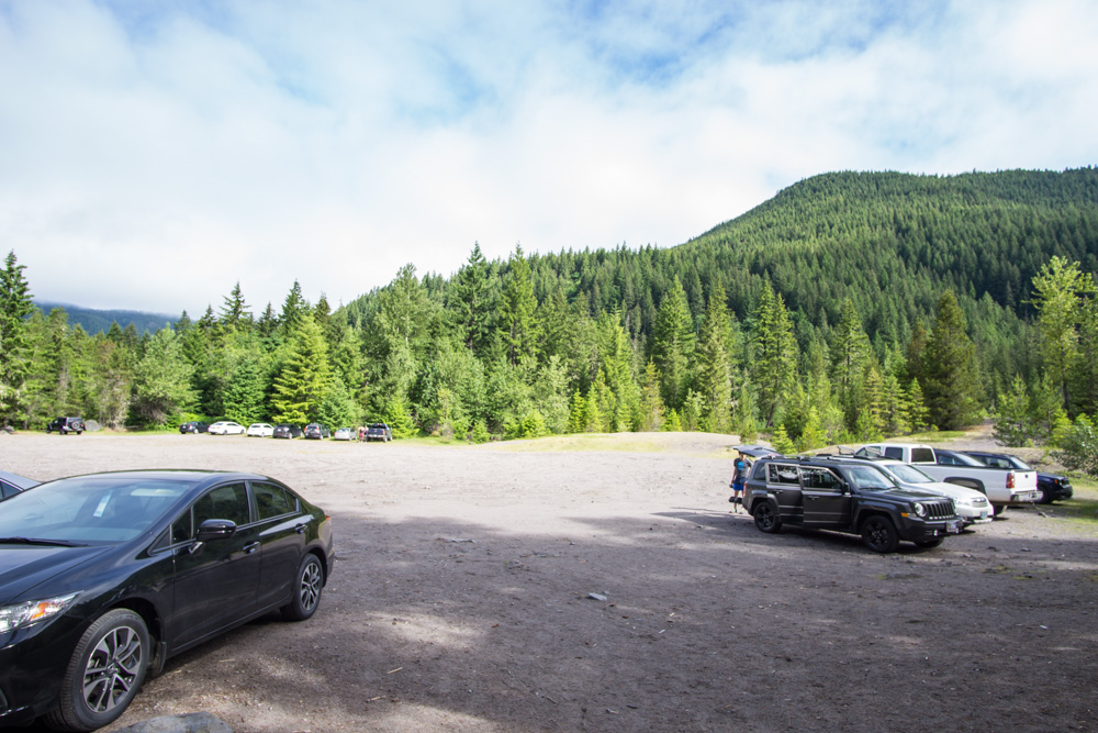
You can follow Google Maps straight to the trailhead, which is only an hour 15 minutes from Portland. The Mount Hood area is lush and forested, and you'll pass tons of great camping spots on the way. Once turning onto Muddy Fork Road, you'll cross a bridge over the river, and the dirt road is well maintained all the way to the parking lot.
The Hike
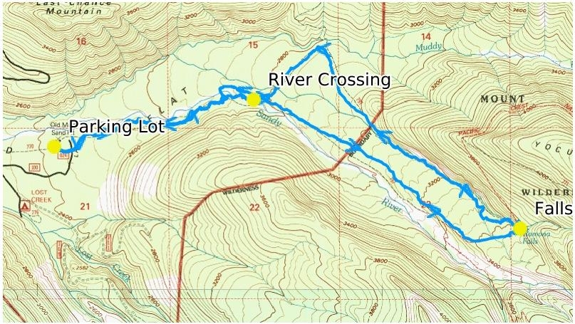
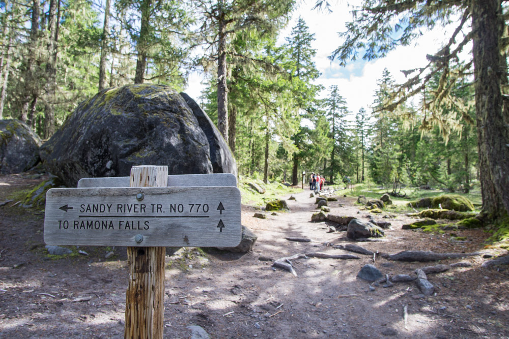
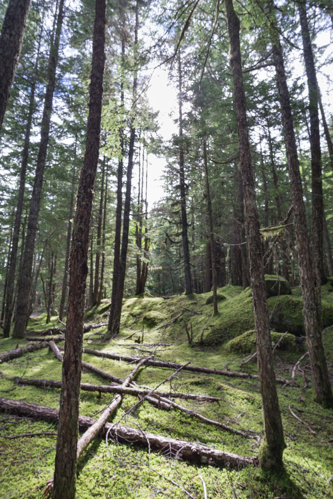
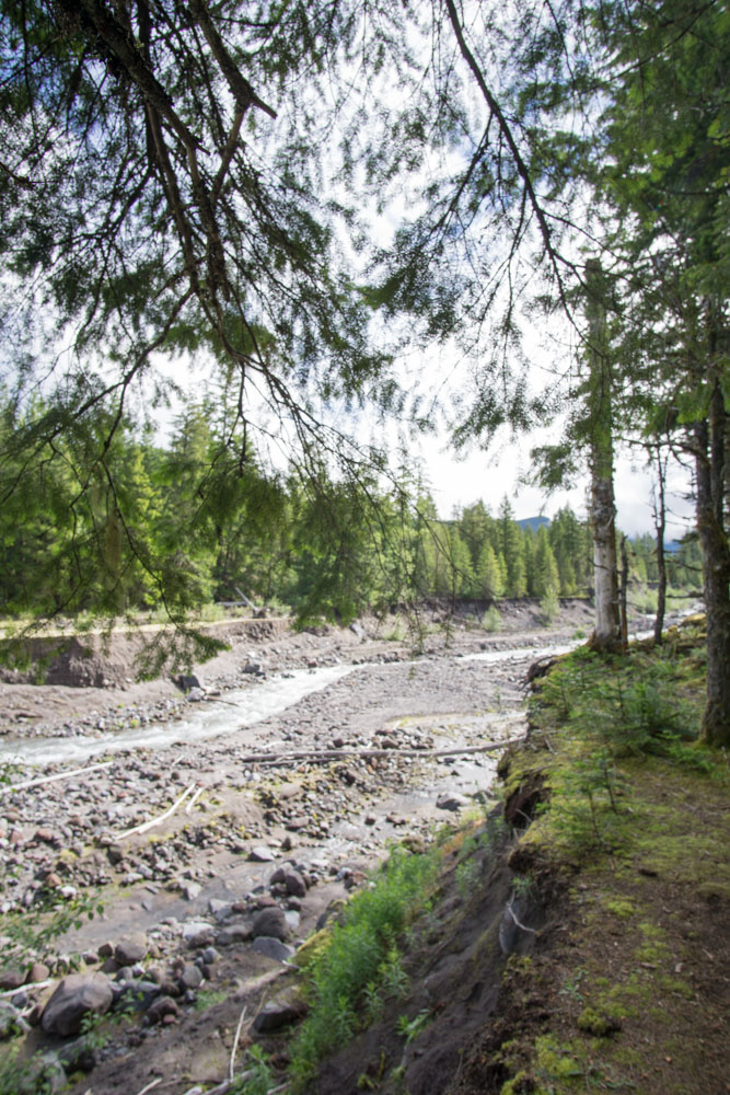
The hike starts off in the forest and follows the south shore of the river for about a mile on the Sandy River Trail.
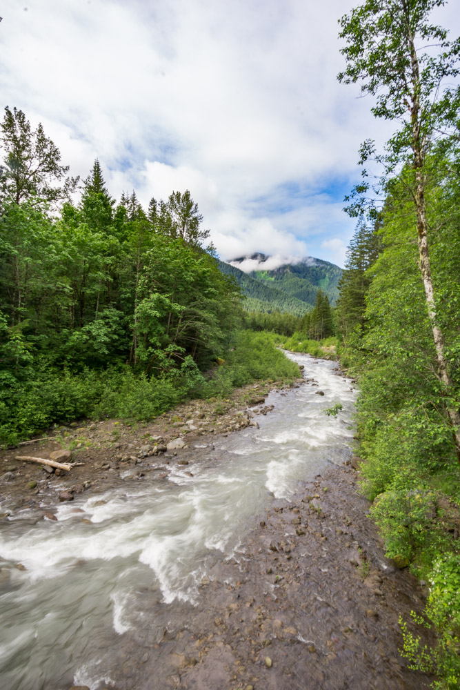
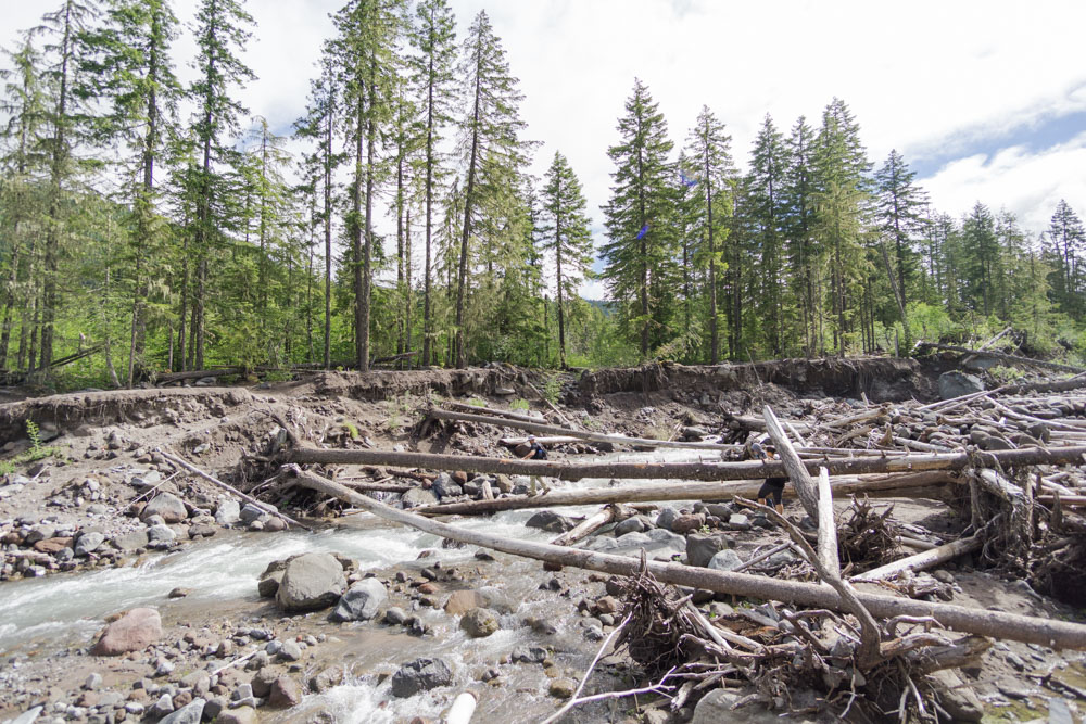
When the trail reaches the river, you can find a large pile of trees that you can use to cross the water. The fallen logs felt quite stable, and people didn't seem to have a problem balancing and shimmying across. After crossing, it's helpful to look at your map to find your way to the main trail.
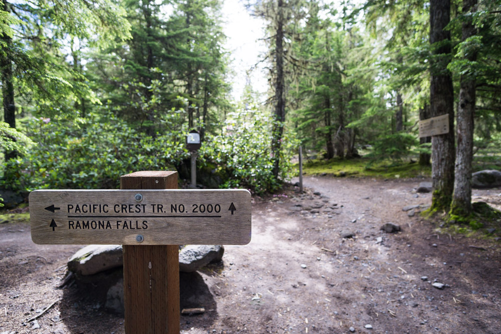
1.3 miles from the trailhead, the trail loop actually starts, and you'll notice you're actually hiking part of the famous PCT.
Going straight and heading counterclockwise on the loop, the trail climbs slightly for 1.4 miles until you'll break off the PCT and go another 0.4 miles to finally reach the falls, an enormous cascading fan waterfall that stands 120 feet tall.
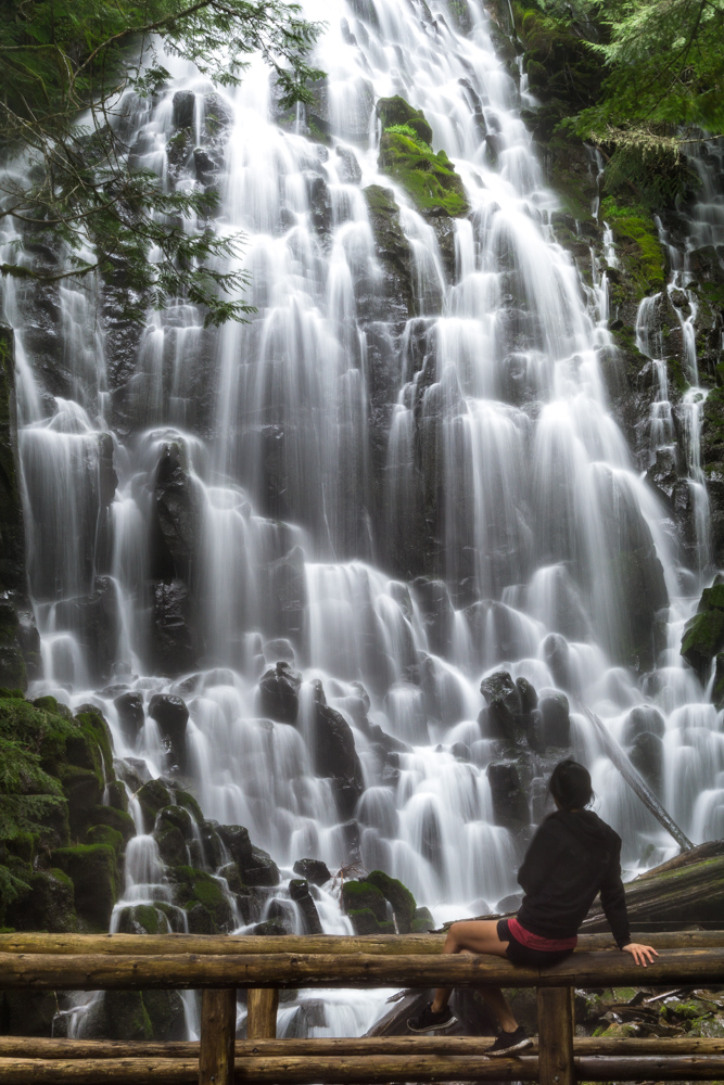
The falls are so much taller and grander in person than I expected, and it was hard to keep my clothes dry from all of the mist flying off the falls. There are also lots of logs in the area with a clear view of the falls, perfect for eating lunch.
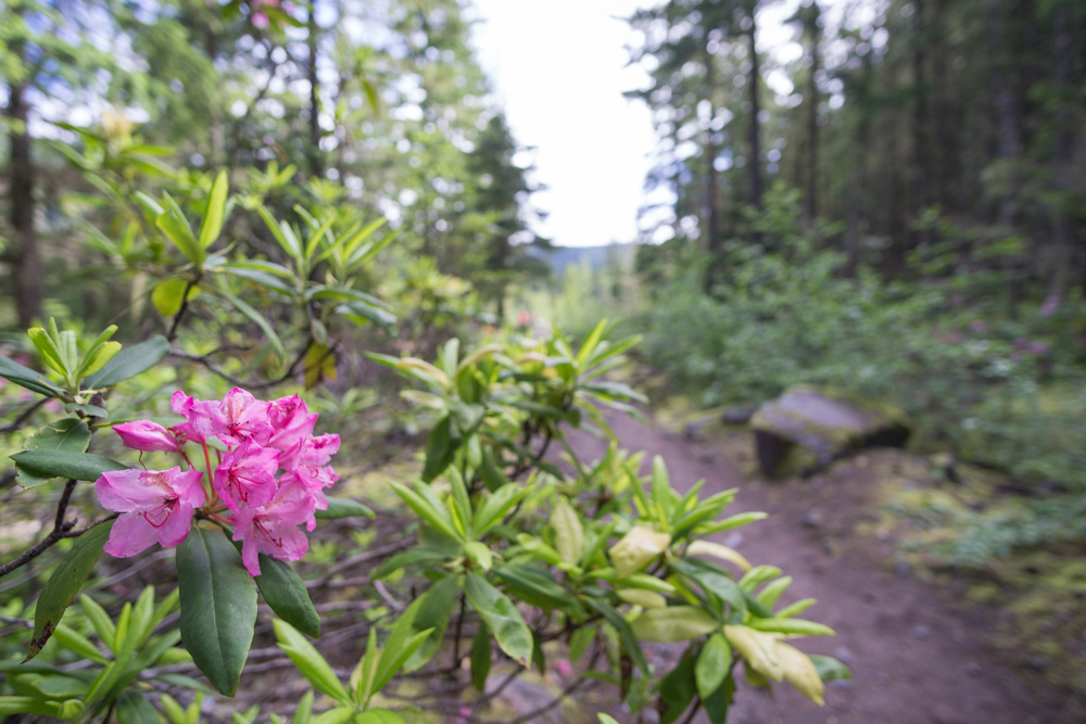
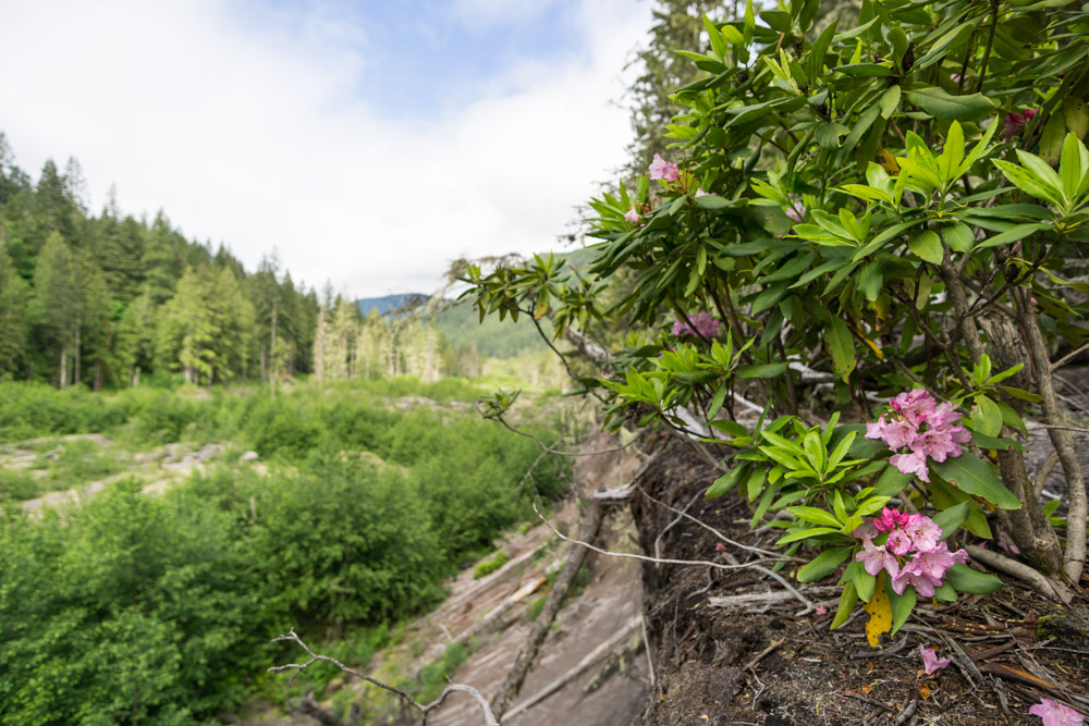
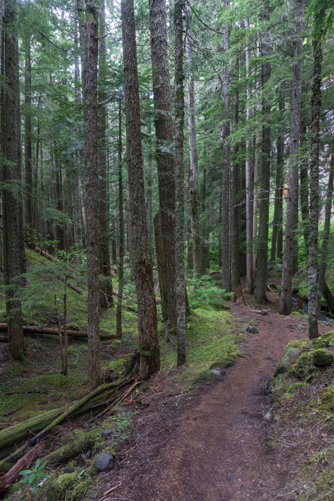
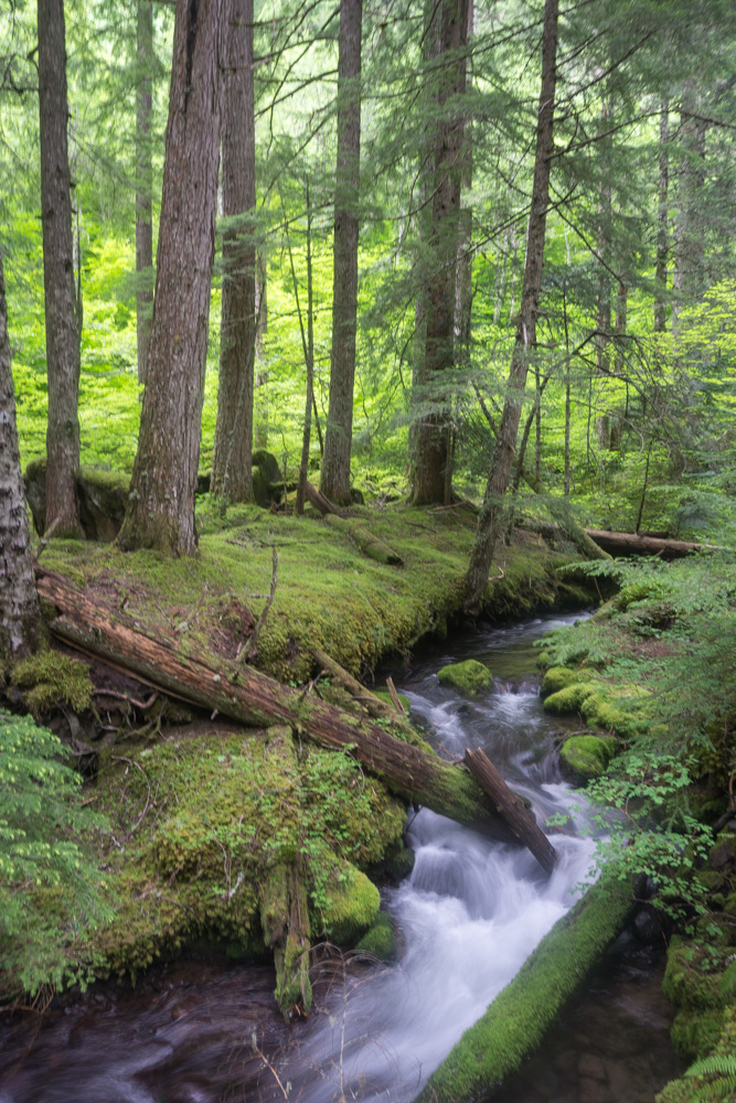
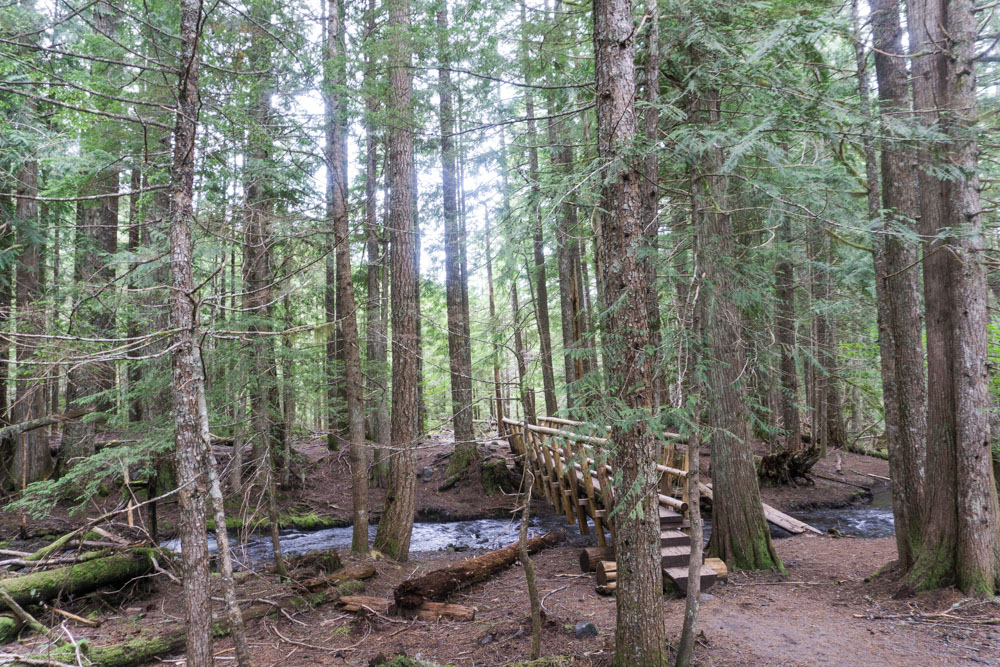
When you're ready to return, cross the bridge and continue onto the Ramona Falls Trail. I enjoyed this portion of the hike the most, as it has a completely different feel than the first portion of the hike. The trail is shaded, follows alongside the small creek and has tons of green foliage.
It's 1.7 miles from the falls till you turn south onto the PCT. Go another 0.5 miles and cross the creek to complete the loop.
It's all familiar territory from here on out!
Trees for dayyyyyys
No wonder Oregonians are so active - the Mt. Hood area offers endless outdoor opportunities in a gorgeous setting. I saw tons of kayakers, fishermen, hikers and runners, families camping, and people ATVing all with an incredible forest backdrop and snow-capped mountains looming in the distance. I definitely need to come back and spend more than a day here!
Other useful sites:
Oregon Hikers
Outdoor Project
Oregon.com
NW Hiker
Favorite gear for this trip


