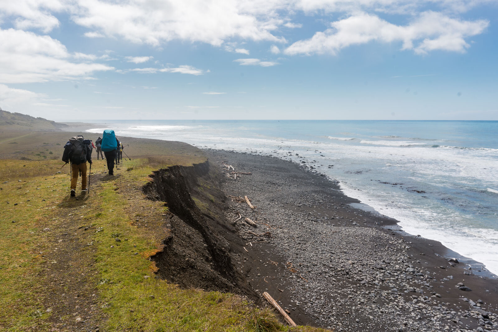
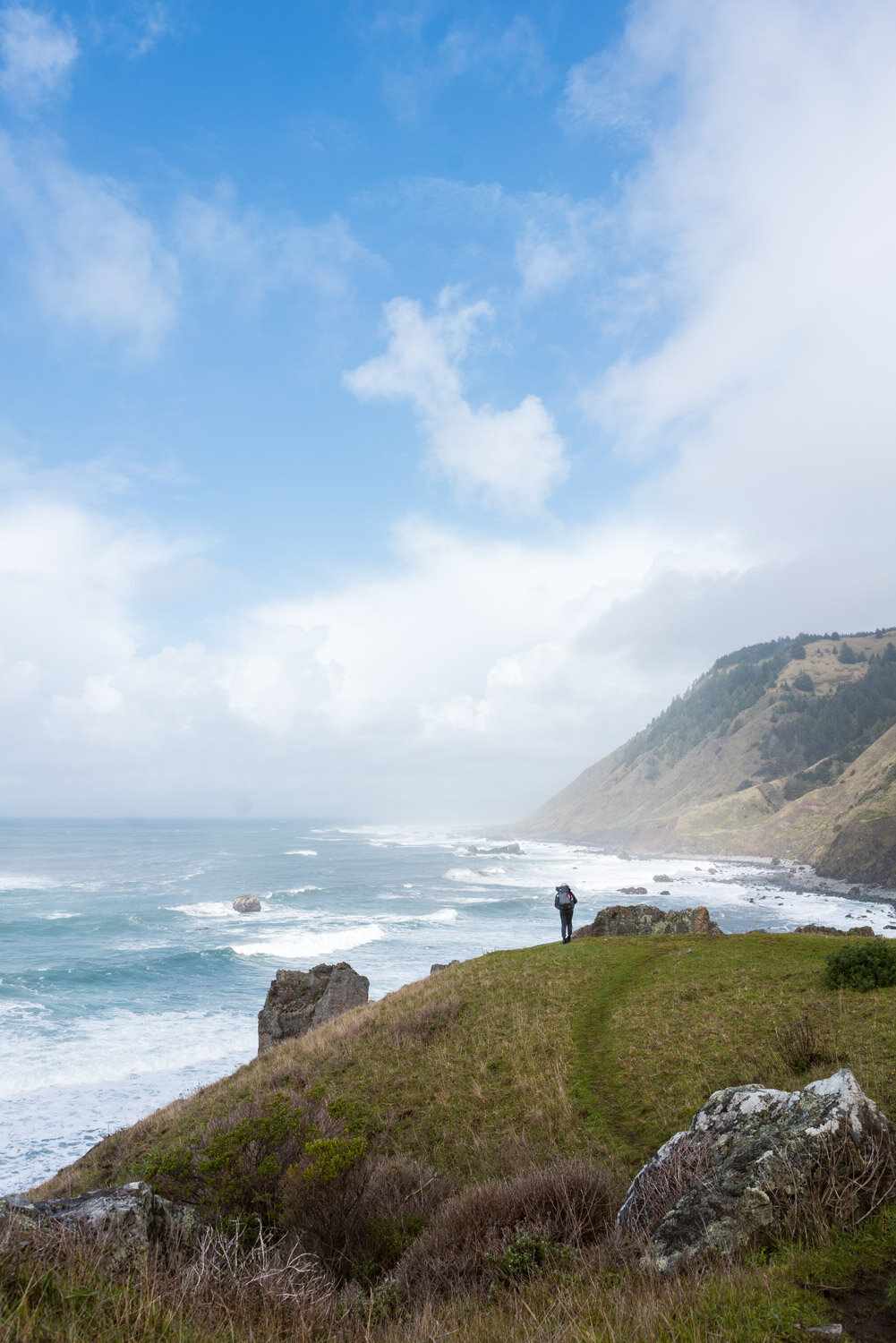
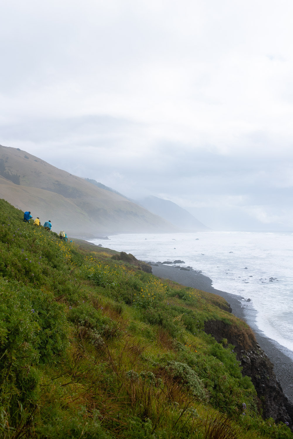
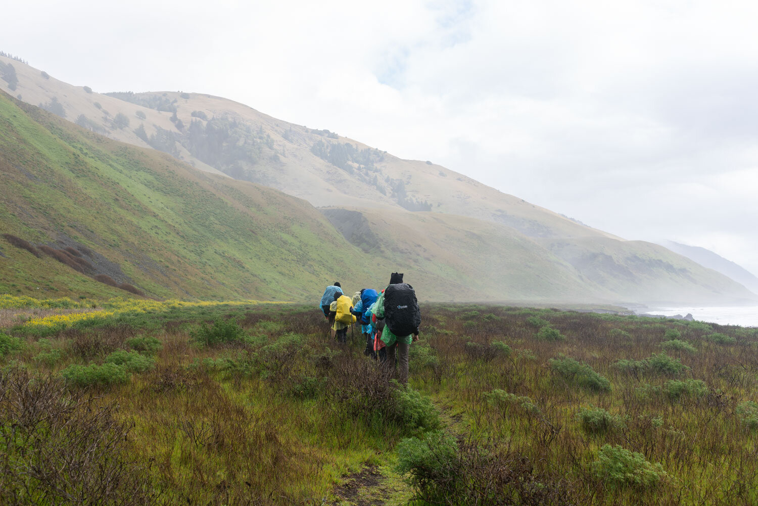
Arguably the finest coastal backpacking trail in the United States, this 25 mile stretch of California coast is truly a unique trail where you’ll get to experience untouched wilderness and true remoteness. Due to the cliffs being too steep to build roads, the Lost Coast is the longest stretch of undeveloped coast in California, but the cool thing is we can still experience it by hiking it!
When thinking about backpacking in California, most people automatically assume Yosemite or the Sierra. The Lost Coast isn’t a well-known area to the general public, but this remote area is considered a top destination for many hikers and backpackers from around the world. Mountains have my heart, but I was surprised how much I enjoyed these few days on the coast hiking and camping on the beach.
Affiliate disclaimer: this article includes some affiliate links, which means I may earn a small commission on any purchase made - at no additional cost to you. As always, all opinions are my own. Thank you for supporting the work I do to keep creating meaningful content like this for you!
Table of Contents
Backpacking Info
Dates hiked: Mar 19 - 21
Miles: 25 (north to south)
Trail type: one-way, shuttle required
Permit: required for all overnight trips, see permit info below
Trailhead: Google maps
Permit Info
Permits are required year-round for all overnight trips, and only 30-60 people are allowed to hike per day with no walk-in options. Permits for the entire year are released three months before your planned hike date on Recreation.gov each year. The permit retrieval process is convenient since you just print out your permit to carry with you.
No available permits?
You can now sign up to be notified of any permit cancellations through Outdoor Status!
Getting There
Since this is a one-way hike, you’ll want to pay extra attention to your transportation. Some people hire a shuttle which can run about 100$ per person. You can also coordinate with another hiking group and hike opposite ways on the trail to swap keys, then set up a meeting time and spot to swap cars and keys again
Setting up your car shuttle
Since we had multiple cars in our group, we arrived the day before to set up a car shuttle. On Thursday afternoon we met at the Black Sands Beach Trailhead at Shelter Cove, loaded everybody and their gear into one car, then drove about two hours to the Mattole Trailhead where we camped at Mattole Campground the night before our trip.
At the end of the hike, you’ll need to drive back to Mattole Trailhead to get your other car, which can be a lot of driving on windy roads. If you do set up a car shuttle, I recommend leaving some water and a change of clean clothes/shoes waiting for you at the end of the trail in that car for the long ride back!
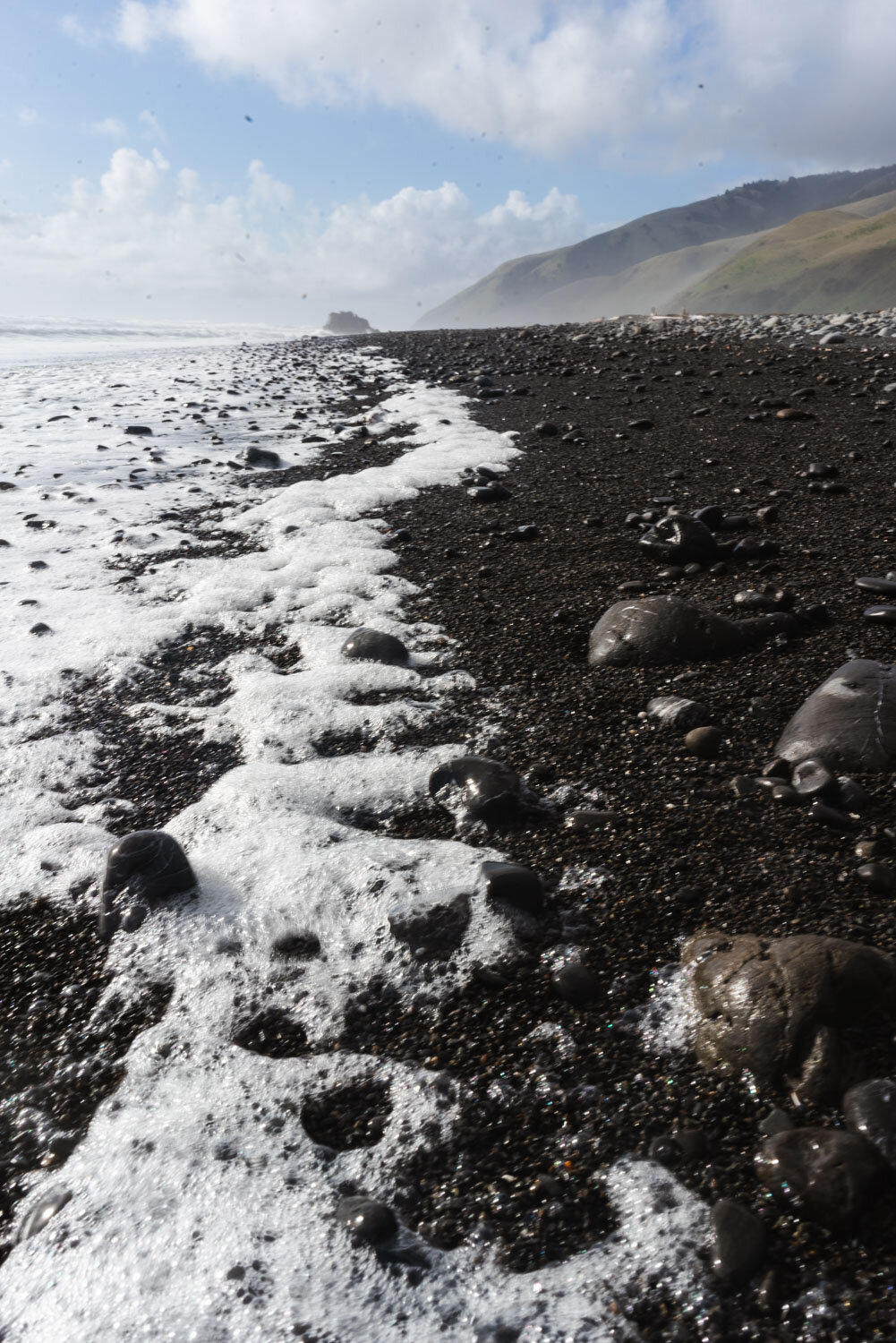
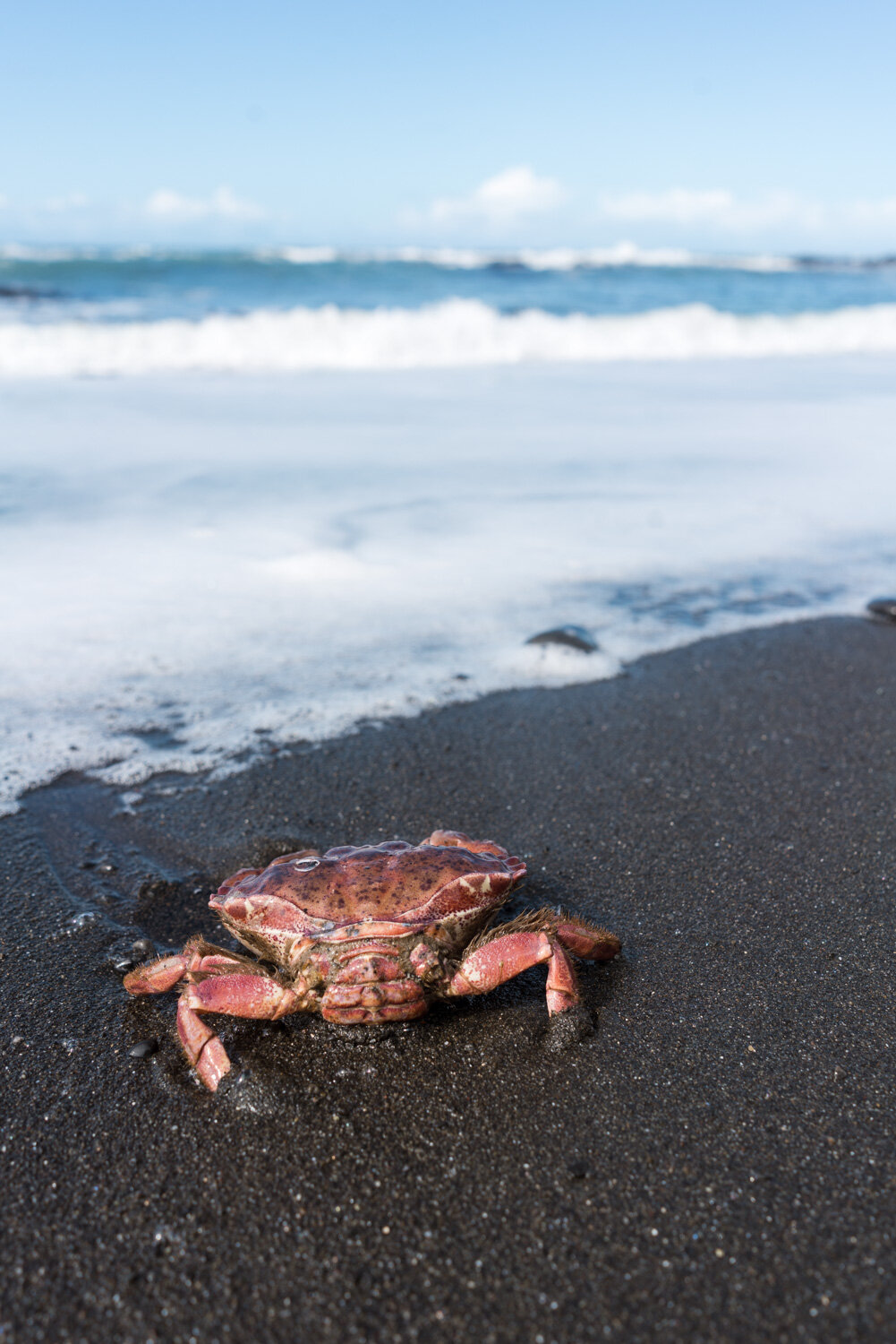
The dark soft sand makes the color of the ocean and foam pop
Challenges
Tides
The main concern with hiking the Lost Coast Trail is the tides. Since the trail runs along the coast in between the cliffs and the ocean, twice a day the high tides cover the trail. You’ll want to plan your mileage and campsites according to the tides.
Thankfully the cyclical tides are extremely predictable, and you’ll be able to look up the high tides for your hike dates in advance through weather sites like NOAA. It can be useful to bring a chart or screenshot so you can reference it while on the trail.
You’ll want to cross the impassable zones at as low a tide as possible since it is easier to hike on the packed sand versus wobbling across on the larger rocks and boulders when the water is higher.
My friend over at Outdoor Status has created a fantastic tool for figuring out where to camp based on the tides, sunrise and sunsets, and your mileage per day. Check it out here
Sneaker waves
Whenever you’re close to the water, always watch the next wave to be sure it’s not larger than normal. Ocean swell waves come in sets, where a few larger waves will form every 5 minutes or so, so you never really know when a larger wave will come! A few of us got our boots wet when running to higher ground to escape a surprise wave.
You’ll want to keep an eye out on weather and any small craft advisories, which means rougher than normal oceans, larger waves, and larger sneaker waves.
Ticks & Poison oak
I’m extremely sensitive to poison oak, and there is a lot on the trail and near campsites. Even while typing this I’m currently trying not to actively itch a patch on my hand. Be sure you’re able to identify this noxious plant, steer clear, and be aware of any of these bushes when hiking off-trail. Remember, ‘Leaves of three, leave them be’!
Ticks are also plentiful in this region, so long pants and/or long gaiters give you an added benefit of protection, but it’s always a good idea to do a nightly check for any ticks on your legs!
River crossings
Even when we hiked in March during the rainy season, the river crossings were all quite manageable. We either balanced across a log, rock hopped (this is where waterproof boots are handy), or changed into sandals to wade across the larger ones. Do be careful after heavy rain as I can easily see these crossings being more dangerous!
Our cliff-side camp at Buck Creek
What to Pack
The weather forecasted rain for the weekend (I like to use this NOAA point forecast), which is pretty common for this time of year. If there is any chance of precipitation, you want to be prepared with the proper rain gear.
Rain gear - be prepared for all kinds of weather! Goretex rain jacket, rain pants to pull on and off over my hiking pants, a backpack rain cover, waterproof boots, dry bag stuff sack for at least your sleeping bag, but I ended up drybagging everything, and even a plastic light rain poncho came in handy since most rain jackets aren’t enough in heavy, sustained rain. Monitor the weather forecast closely before you go
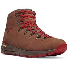
Uneven terrain gear - I strongly recommend a mid-height boot for ankle support, gaiters (long or short) to keep the sand/rocks out, and trekking poles for balance and support
Bear canister - I love these clear ones by BearVault. Canisters are required and rangers have been known to check. You can rent from ranger stations or REI stores
Water filter - plenty of creeks every few miles to filter from, this is my favorite no pump filter
Sandals - your feet will be sore from the rocky/sandy terrain, and it will be great to let your feet breathe when you get to camp. They also come in handy for creek crossings. These lightweight Tevas are my go-to
Microfiber towel - especially if it is raining, it can be useful to wipe down wet camp things or dry off your feet after being in the creek
Trowel, toilet paper, trash baggie - when pooping, instead of going far away from any water source like Leave No Trace has emphasized, you actually want to head towards the ocean. This was something I’ve never done - you want to dig your cathole below the high tide line and do your business there. I recommend facing the ocean to be prepared for any sneaker waves and of course, for the best view while doing your duty. As always, be sure to pack out all of your toilet paper!
Downloaded maps/GPS - there is no service even when driving to and from trailheads, so downloading offline Google Maps will allow you to still get navigation directions. You’ll also want a map to know where you are relative to the impassable zones and how far to go until camp, since a lot of the creeks look similar.
Here’s a blog post about every item I pack for a weekend backpacking trip
The Trip
Day 1
Mattole Beach to Spanish Creek (10.3 miles)
First day on the trail! We hit the trail early around 8am since we needed to clear the first impassable zone before the high tide at 5pm. This first impassable zone of the trip stretches for four miles and starts at Sea Lion Gulch at the 4.5 mile mark and ends at Randall Creek at the 8.5 mile mark.
Right away we got to experience hiking on soft sand with a heavy pack on. You learn to use your poles for balance and to seek out any firmer footing that you can, whether it’s a rock or packed sand. For me, it was so much easier to hike in someone else’s footprints than making my own trail.
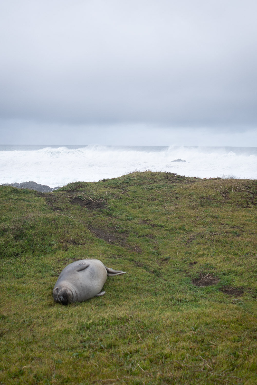
We passed a variety of seals in the water and on the beach. I couldn’t believe how enormous some of the larger elephant seals were! Northern elephant seals are the largest pinnipeds in this hemisphere, and I hadn’t seen so many up close before. They can weigh up to 4500 pounds! They were very vocal as we passed by, and since they are easily agitated, you’ll want to keep your distance.
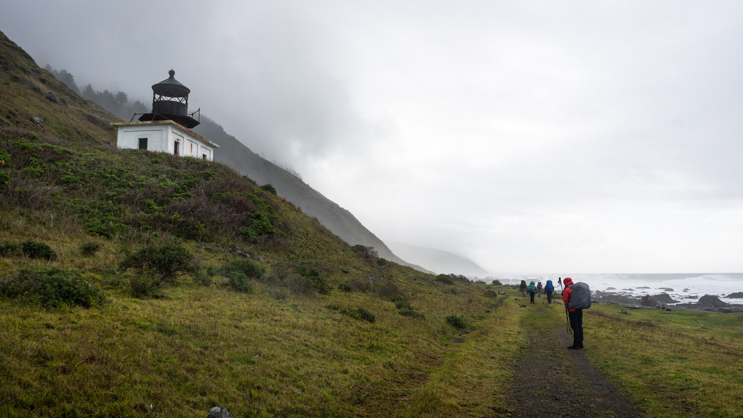
At about three miles in we reached our first point of interest - the Punta Gorda Lighthouse! This decommissioned lighthouse looks so regal standing on the cliffside under a moody layer of clouds, and you can take the side trail on the left to see go see it.
The decommissioned Punta Gorda Lighthouse
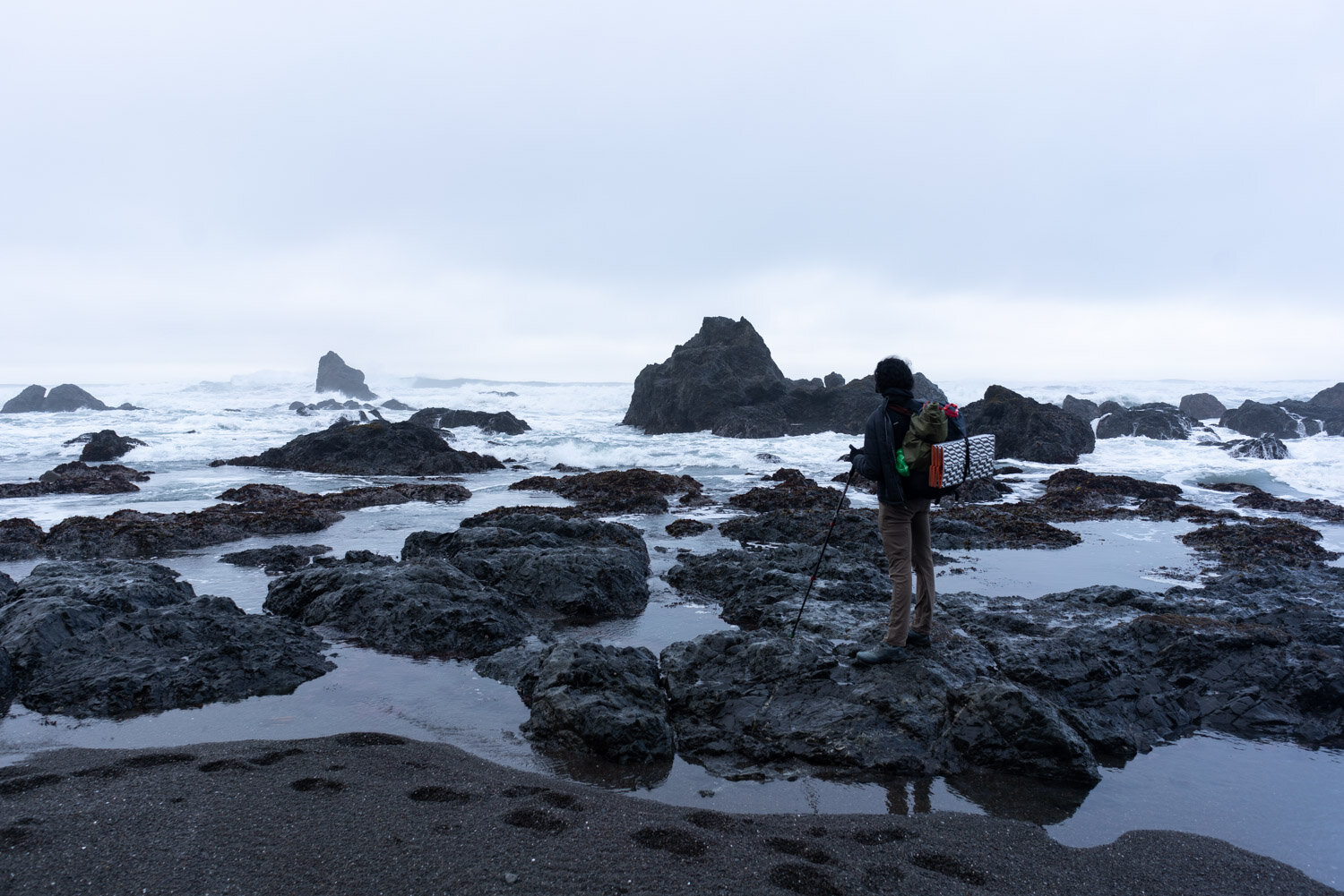
At mile 4.5, we reached the start of the impassable zone. As you can see in the photo below, when the water rises a couple more feet, you don’t have much to hike on since the cliffs here are quite steep. Also note the rocks you see in this shot is one of the reasons I recommend mid-height boots and trekking poles, as your ankles and balance are put to the test on this type of terrain.
The start of the first impassable zone
The rain and hail had steadily been coming down up to this point, but all of a sudden to our delight the clouds cleared and the sun came out. The weather up here changes so fast that you’ll want your rain gear easily accessible to quickly don them when the rain starts coming down.
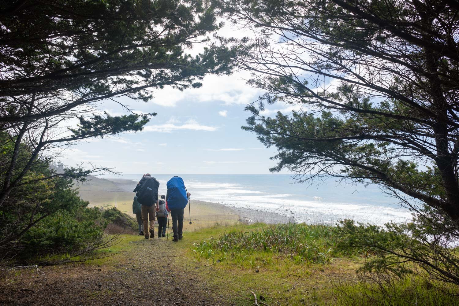
The trail then pulled away from the shoreline and started up the cliffs alongside the coast. I loved this portion of the trail, as you get an amazing vantage point of the coastline from up here.
We were all feeling the miles by this point with our heavy packs and the quick pace we set for the last few hours in the soft sand and uneven boulders. We pushed the final few miles past the Spanish Ridge trail turnoff onto Spanish Creek, our campsite for the night. We were too tired to cross the river and ended up camping on the northern side of the creek above the sand.
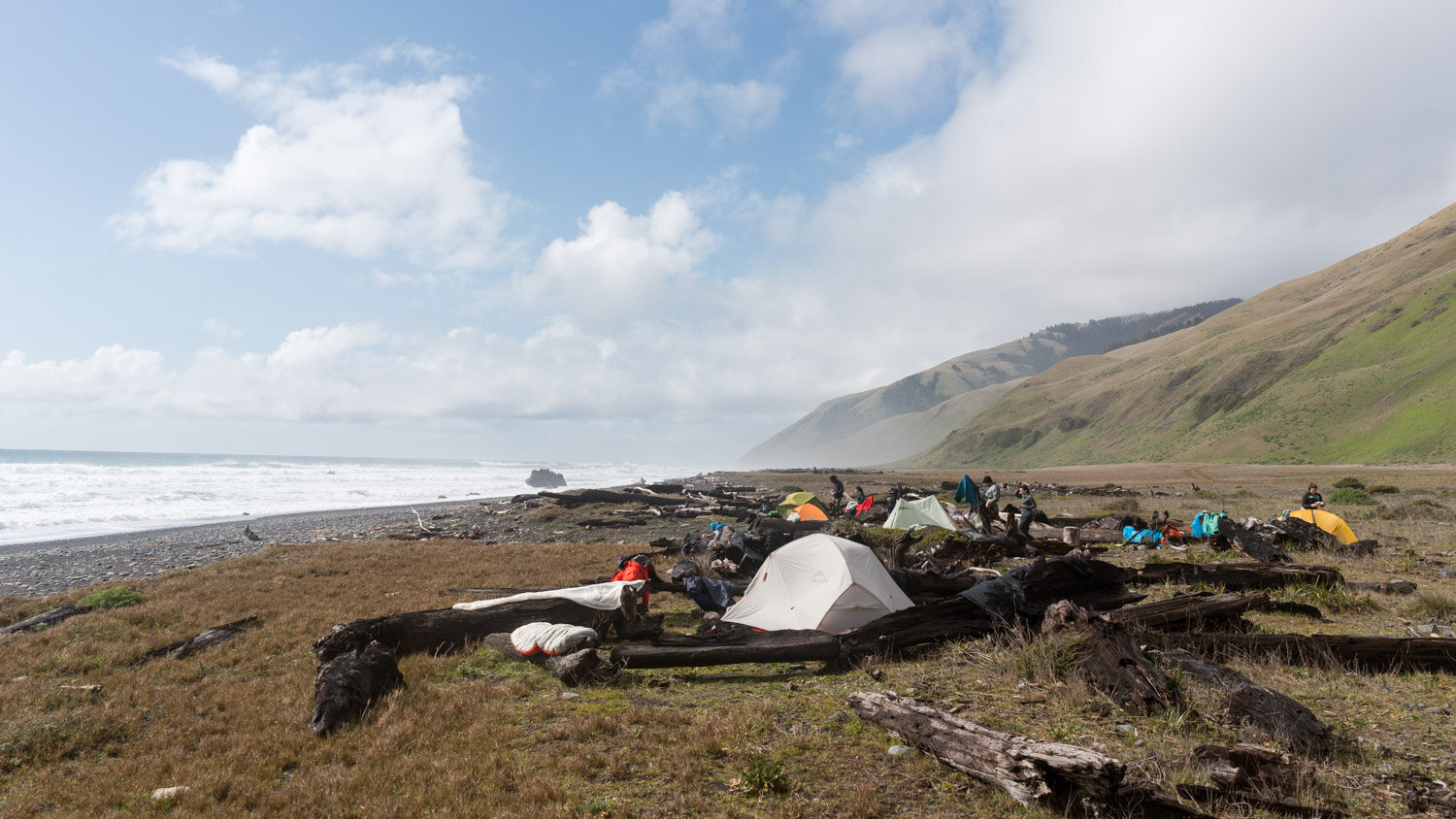
When looking for campsites, try to find ones that are clearly established instead of making a new one. Thankfully the sun came out again while we set up camp, so we had everything strewn out over logs drying in the sun. We were even able to start a fire in an established campfire ring at our site. Note that campfires are prohibited from mid-June to mid-October.
Our incredible camp at Spanish Creek
I think the best part of backpacking the Lost Coast Trail is getting to experience campsites like these. For as far as you can see everything is undeveloped and raw wilderness, a rare sight for a California coastline.
At camp, you can finally take your eyes off your feet and the endless boulders passing by and stop to take in your surroundings. You can walk along the beach, go swimming if it’s warm, soak your feet in the creeks, sit on the shore and watch for seals and whales, have a fire at camp, and temperatures never get too cold at night since the air is buffered by the ocean.
Day 2
Spanish Creek to Buck Creek (9.5 miles)
The next morning we woke up and got to take our time a little while eating breakfast and packing up camp. We even saw a trail runner running by at around 9am, and we spent the rest of the weekend trying to figure out how he ran the entire 25 mile stretch on such tough terrain in one day.
We had to cover 9.5 miles to get to our next planned campsite at Buck Creek before the high tide peaked at 6:20pm (thankful the afternoon high tide was pushed a little later each day).
We had a couple of creek crossings on logs that wouldn’t have been possible without trekking poles to help balance in the water. A few of the log crossings were higher above the water, making for a more treacherous fall, so some people change into sandals to wade across the creek. There are many creeks to cross on this trail, which means an endless freshwater supply every few miles, but also a higher potential for getting your hiking boots and socks wet!
We were also surprised to stumble a few houses dotted along the coast that stood out in this rugged landscape, and although they didn’t look inhabited, but they were in pretty good condition. Occasionally the group would stop at some tide pools to see what we could find among all of the mussels and anemones, and overall we saw quite a bit of wildlife that weekend like deer, hawks, vultures, starfish, and even an enormous dead octopus that washed ashore.
It was also great to see all kinds of wildflowers starting to bloom on the hillside like purples, yellows, whites and golden orange poppies. Even the poison oak bushes had just started budding!
One of the straightaway sections on the grassy plateau - such a nice break from the sand!
The trail this day covered all kinds of terrain again like soft black sand, sunny cliffs, wide-open grassy plateaus, and rocky beaches. We finally rolled into camp just as the tide was getting higher where we had to time the waves when rounding the final corner. This campsite felt extra isolated since we were camped in the middle of the impassable zone and would have to wait for the tide to subside a bit before heading out in the morning.
Buck Creek was a fabulous campsite. You can camp down on the sandy beach or hike up on the hillside a little and get some great overlooks of the ocean. There was even a perfectly-placed fire ring on the edge where we all cooked and had a great vantage point for whales on the horizon.
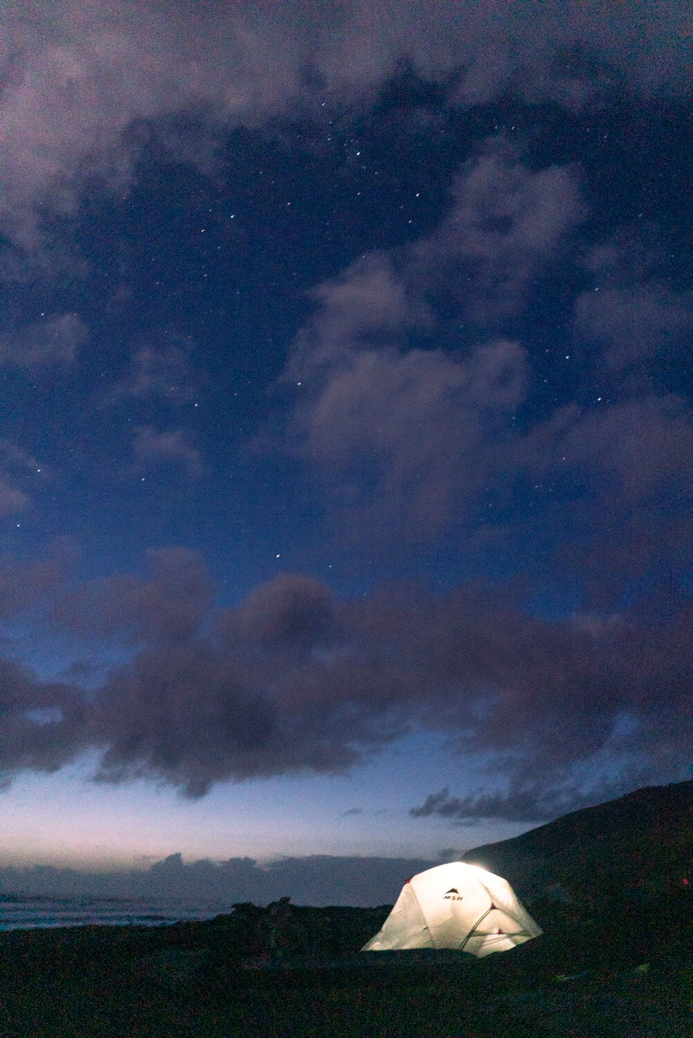
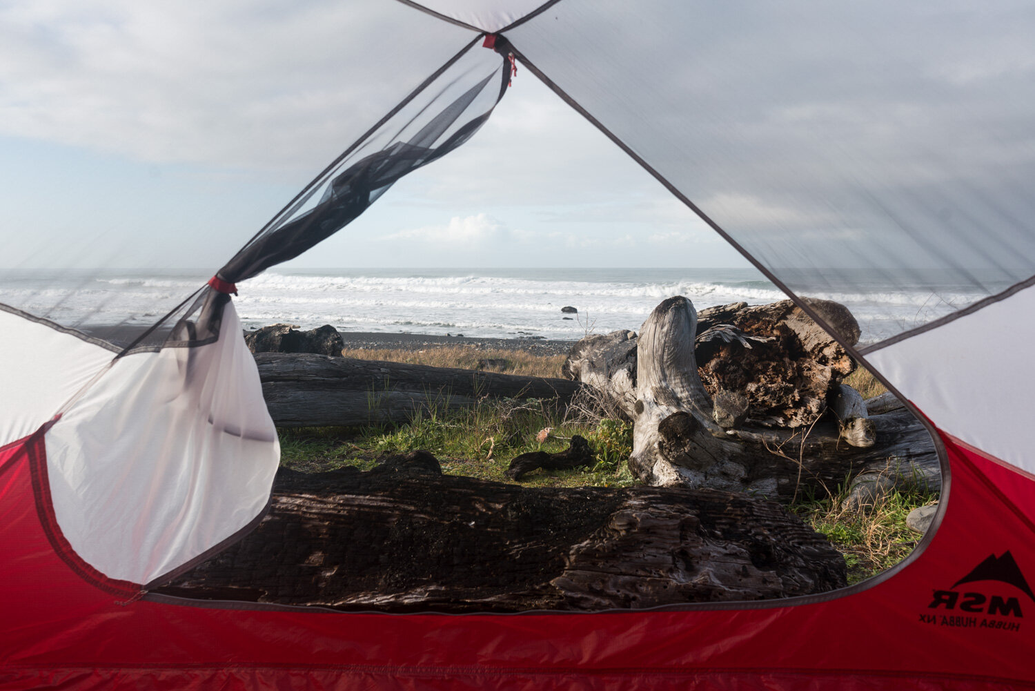
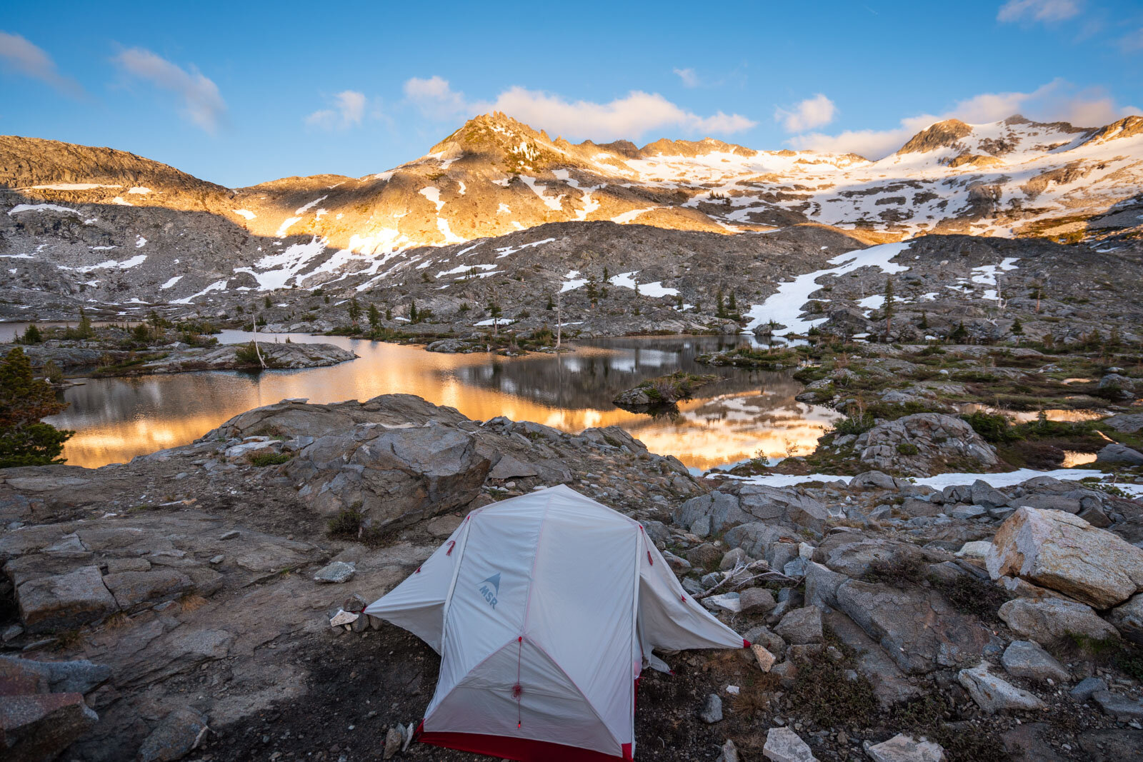
Home sweet home for our final night - our go-to MSR Hubba Hubba tent
Day 3
Buck Creek to Black Sands Beach (5.3 miles)
The next morning we were looking forward to a shorter day on the trail as we were all quite sore from the previous long days. If you can, I would recommend doing this trip over four days to break up the mileage more and not have to rush to beat tides to get to camp.
As we left Buck Creek heading south, we could already see the white buildings of Shelter Cove in the distance, where our car was waiting for us. The end point looked so close, yet so far at the same time! This entire last portion was mostly soft sand, and we enjoyed one final serene beach walk alongside the calm ocean, spotting several harbor seals watching us from the water.
Looking back south to where we hiked from. Incredible what distance my little human legs can cover
Shelter Cove spotted in the distance on the point
We were glad to have reached our cars by 11am, as we had the two-hour windy drive to pick up our other car at Mattole Beach before heading back to the Bay Area.
Conclusion
Initially, I wasn’t really sure what to expect from the Lost Coast. The mountains are usually my first choice of backpacking trips, but the Lost Coast Trail seemed perfect to kick off the backpacking season, so I figured this spring was the perfect time to check it off the list.
Honestly, at some points the hike felt like type two fun, where I was tired of walking in soft sand, balancing across endless rocks, or had my head down in periods of heavy rain. Also the pace we set in order to squeeze it into a weekend while trying to beat the tides each day was just as challenging as the alpine elevation gains I’m used to.
But when you do take the time to stop and appreciate how rugged and untamed this stretch of Lost Coast is, you’ll be amazed at the beauty you’ll see. I loved sleeping to the sound of the ocean waves every night, watching the marine fog getting trapped against the sheer cliffs, and really feeling lost, yet free out there.
Have you hiked the Lost Coast Trail? Let me know in the comments!
Favorite gear for this adventure

